Unmanned Aircraft System (UAS)
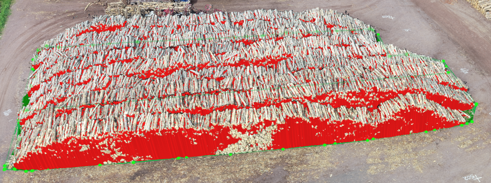
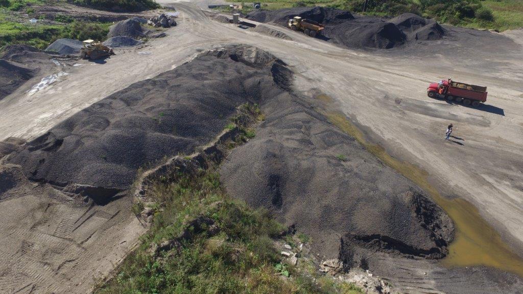
EMCS has a fleet of unmanned aircraft systems (UAS, a.k.a. “drones”) as well as seven FAA Part 107 certified remote pilots. We have performed hundreds of flights, with scope ranging from mapping for visualization creation and existing conditions documentation to stockpile and landfill quantity determination.
Use of UAS technology can provide valuable aerial photos to demonstrate project impacts, aerial videos of traffic movements to help demonstrate the need for the project, and analyze traffic patterns.
Our UAS services include:
- Quantity surveys
- Vegetation surveys
- Architectural surveys
- Orthomosaic images
- Power line inspection
- Water tower inspection
- Landfill monitoring
- Building inspection
- Construction site inspection
- Color point cloud creation
- DTM/DSM mapping
- Contour mapping
- Lake mapping
- Emergency management
- Crash scene documentation
- Real estate images/videos


Contact Us
If you are interested in finding out more about our UAS capabilities, please contact us.